


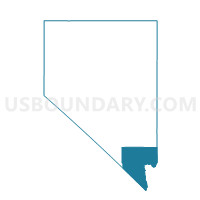
Precinct 1169, Clark County, Nevada
About
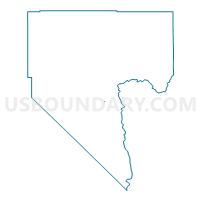
Outline

Summary
| Unique Area Identifier | 614652 |
| Name | Precinct 1169 |
| County | Clark County |
| State | Nevada |
| Area (square miles) | 0.02 |
| Land Area (square miles) | 0.02 |
| Water Area (square miles) | 0.00 |
| % of Land Area | 100.00 |
| % of Water Area | 0.00 |
| Latitude of the Internal Point | 35.92445120 |
| Longtitude of the Internal Point | -114.91748010 |
Maps

Graphs
Select a template below for downloading or customizing gragh for Precinct 1169, Clark County, Nevada


Neighbors
Neighoring Voting District (by Name) Neighboring Voting District on the Map
- Precinct 1070, Clark County, NV
- Precinct 1475, Clark County, NV
- Precinct 1530, Clark County, NV
- Precinct 1945, Clark County, NV
- Precinct 1951, Clark County, NV